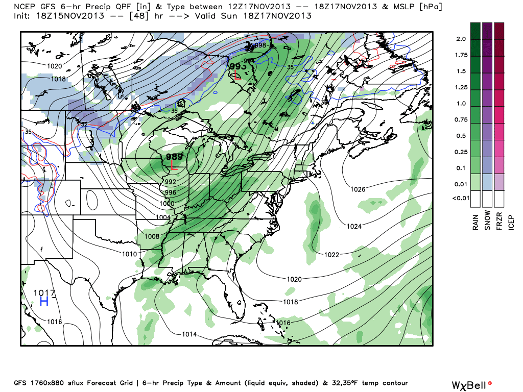
The focus of the forecast tonight on Ten at 10 will be warm and wet weather for the weekend! How warm? Highs will be about 15° above normal as we reach the low to mid 60s on Saturday and Sunday. How wet? Most of us will have between .25" and .75" of rain this weekend. There could be some higher totals though in places that see some convection (t'storms) mixed in.
About the t'storms - the best chance for storms is late Saturday evening and night in the Quad Cities. At this point in time we'll see relatively muggy air in place and the cold front will still be off to the West. By Sunday afternoon that front works through the Quad Cities and displaces the svr threat to our East. The overall chance for severe weather sits at about 20% for Sat. night...
 |
| Hail threat Sat. night |
 |
| Saturday night severe threat |
 |
| Sunday storms push East |
 |
| Cold front moving through the area Sun PM |
Something else you'll notice this weekend - with a powerful fall storm rolling through the Midwest the pressure graident will be tight. That's thanks to the storm (low pressure) deepening as it rolls through the area and high pressure follows it up on Monday. Expect gusty winds out of the SW Saturday turning to the NW on Sunday!


No comments:
Post a Comment