
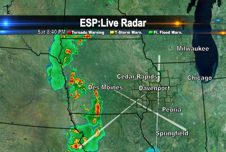
A cold front is slowly progressing eastward towards the QCA. Tonight, (Saturday) the cold front is producing showers and thunderstorms in Central and Western Iowa. There are several severe thunderstorm watches in effect for those areas tonight.

There have been several reports of hail in Eastern Nebraska and Western Iowa.
However, in Northwest Missouri there have been a few reports of some tornadoes. The severe weather threat shifts into the QCA for Sunday afternoon and evening. The best chance for showers and thunderstorms will be between 4pm and 7pm. We are under a slight risk for severe weather on Sunday. If storms are to become severe on Sunday, the main threats will be large hail and strong winds. Stay with CBS4 all day Sunday for the latest weather updates!

No comments:
Post a Comment